
VM0033
Blue Carbon / Mangrove Restoration dMRV
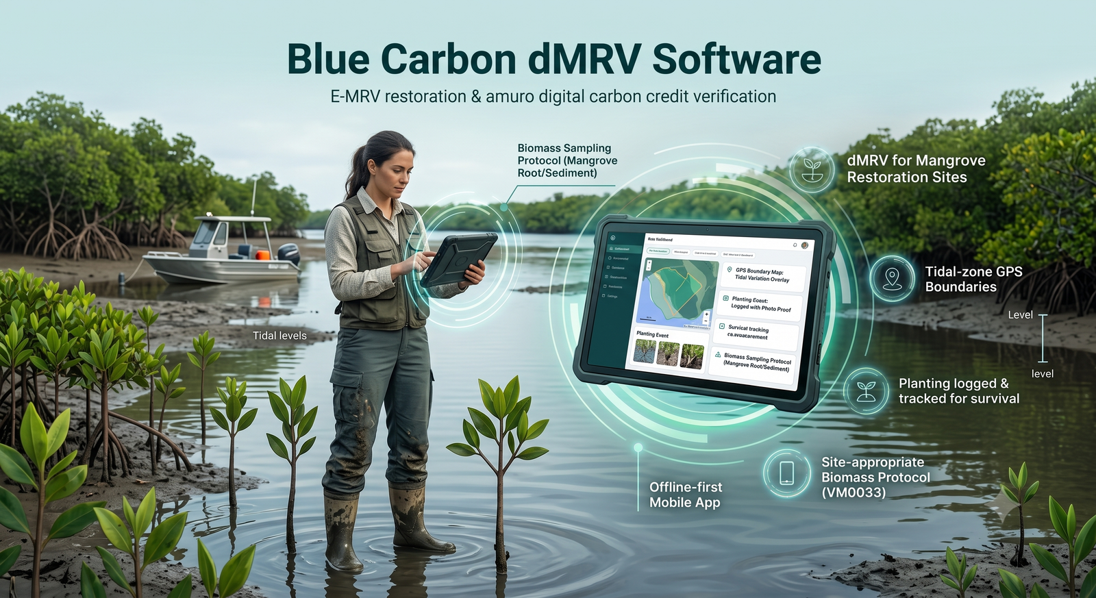
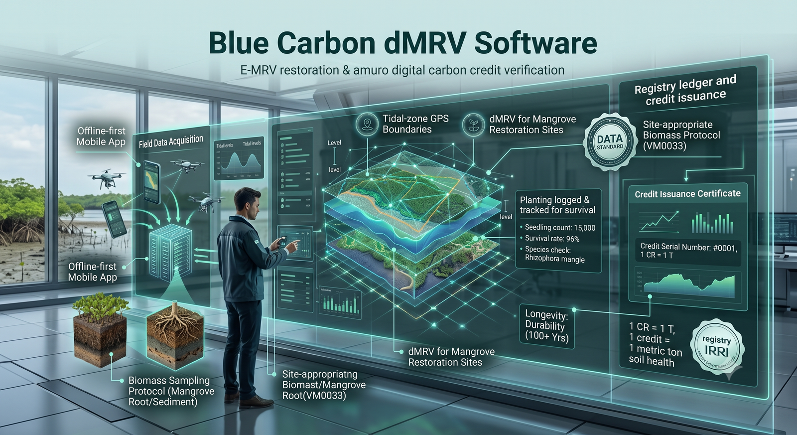
Run blue carbon and mangrove restoration programmes with tidal-zone GPS boundaries, planting and survival tracking, and biomass sampling built for VM0033's coastal wetland requirements.
- 100% of planting sites GPS-boundary mapped
- 1 configurable protocol for mangrove biomass sampling
- 2× faster verification with linked evidence
The problems with paper-based Blue Carbon MRV
Manual, paper-based monitoring is error-prone and hard to scale — every gap here resurfaces later as a verification delay.
Static tidal boundaries
Tidal-zone boundaries shift with the season while the paperwork stays frozen on a single dry-day line.
Boat-only access
Sites reachable only by boat make verification visits rare — and every wasted trip sets the evidence back.
Mismatched survival models
Survival in saline, tidal conditions behaves nothing like terrestrial ARR, so borrowed assumptions don't hold.
Generic sampling templates
Mangrove root and sediment carbon need a purpose-built protocol, not a terrestrial-forest template stretched to fit.
Paper-based Blue Carbon MRV drives up operational cost, delays verification, and pushes carbon-credit issuance further out of reach.
How TrueCarbon digitises Blue Carbon monitoring
Tidal, saline, hard to reach — evidence that still holds up, with enterprise-grade accuracy and immutable audit trails.
Tidal-zone GPS boundaries
Restoration sites are mapped with GPS boundaries that account for tidal variation, not a single dry-season snapshot.
Planting & survival tracking
Species, count and location logged per planting event, with survival re-measurement built for mangrove growth patterns.
Site-appropriate biomass sampling
Sampling protocols configured for mangrove root and sediment carbon, not a terrestrial-forest template stretched to fit.
Offline-first for remote access
Field teams reaching sites by boat capture and sync data whenever connectivity allows — no lost trip, no re-visit.
Everything needed for digital MRV
- Multi-tenant workspaces
- Role-based access
- Offline-first mobile app
- Immutable audit trails
- API integrations
- Custom reporting
Blue Carbon dMRV — FAQs
Answers to the questions teams ask most about Blue Carbon dMRV and TrueCarbon.
Does TrueCarbon support VM0033 for blue carbon projects?
The configurable field schema adapts to VM0033's coastal wetland data requirements — tidal-zone boundaries, mangrove-specific planting and survival tracking, and biomass sampling.
How does the platform handle remote, boat-access-only sites?
The mobile app is offline-first. Field teams collect data at the site regardless of connectivity and it syncs automatically once back in range.
Explore other solutions
Ready to start
Digitise your Blue Carbon programme
Get a walkthrough configured for blue carbon / mangrove restoration — your methodology, your field workflow.
Or tell us about your programme — we'll get back to you