
dMRV software for forestry projects
Run ARR programmes with geotagged planting records, monitoring plots, survival-rate tracking and biomass sampling — ready for satellite cross-checks and verifier scrutiny.
Every feature your arr programme actually needs
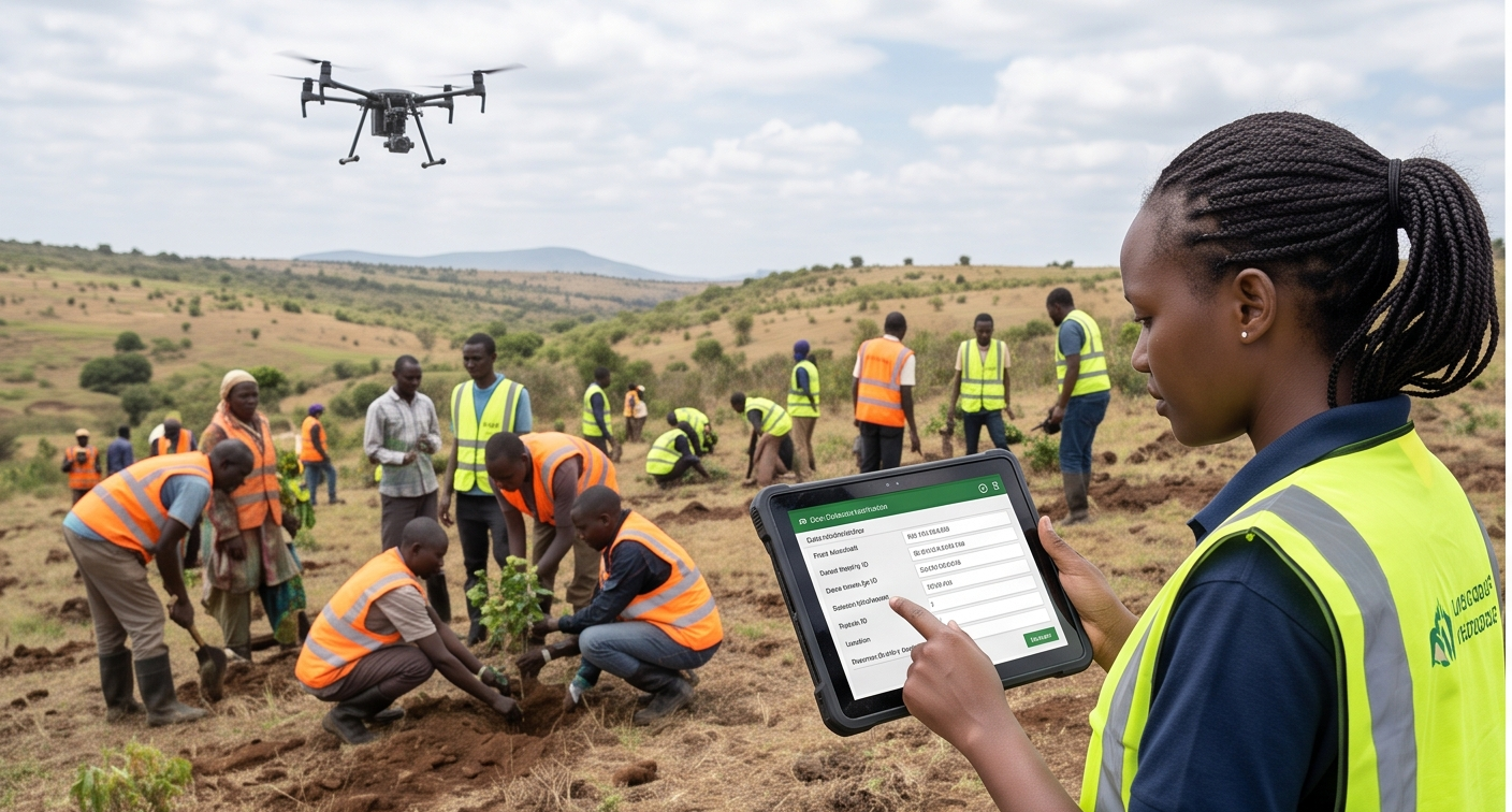
Geotagged planting events
Species, count, date and GPS location captured per planting event, with in-app photo evidence tied to each record.
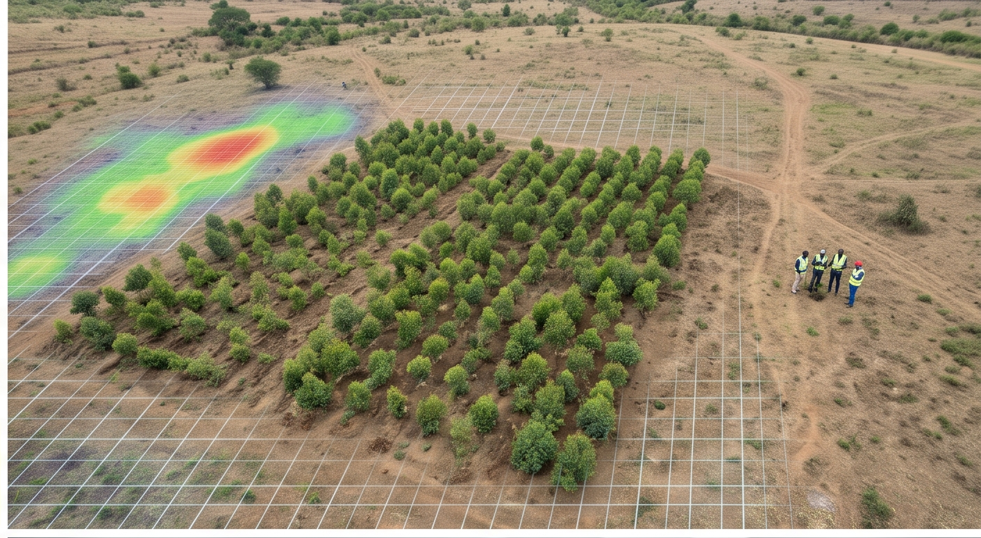
Permanent monitoring plots
Monitoring plots are registered with GPS boundaries so every future measurement campaign returns to the exact same ground.
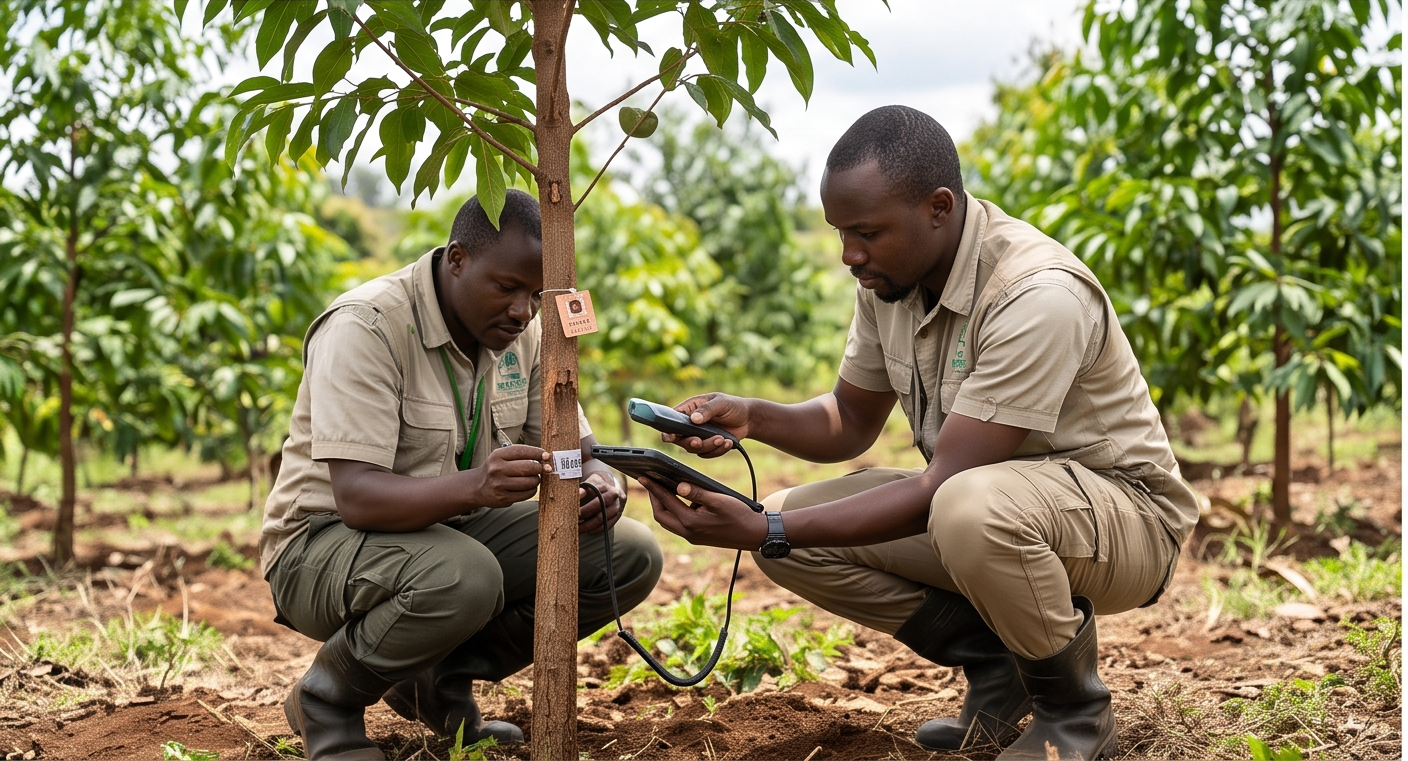
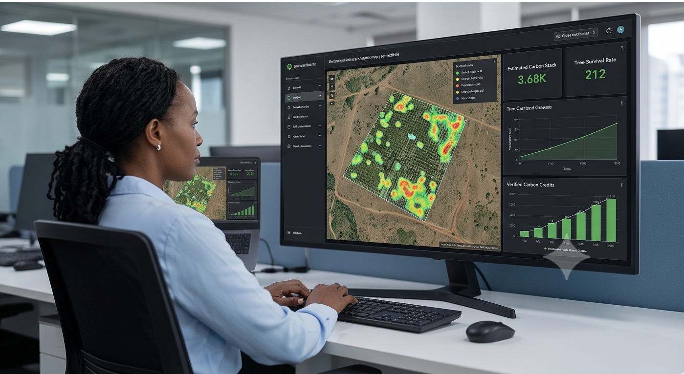
Survival & growth tracking
Scheduled re-measurement events log survival counts, DBH and height — building the time series your carbon model needs.
Satellite-ready boundaries
Clean GeoJSON exports of every parcel feed NDVI/EVI monitoring and remote-sensing QA in Phase 2.
Plus everything in the core platform — configurable field schemas, multi-tenant workspaces, offline-first mobile app and immutable audit trails. Explore platform capabilities
What breaks without dedicated software for forestry projects
Recalled planting counts
Planting numbers are reported from memory at season-end, not captured as dated field records a verifier can trust.
Unknown survival rates
Tree survival goes unmeasured until a verifier asks, forcing a scramble that rarely produces a defensible number.
Unfindable monitoring plots
Monitoring plots live on paper with no GPS, so every re-measurement campaign returns to slightly different ground.
Unmapped parcels
Community plantings sprawl across fragmented, unmapped parcels, making total planted area impossible to prove.
dMRV software for ARR — FAQs
What to know about running ARR dMRV on TrueCarbon.
Does TrueCarbon support VM0047 for ARR projects?
Yes. The configurable field schema maps to VM0047 census-based and area-based approaches, and monitoring plot data exports support biomass estimation workflows.
Can TrueCarbon handle community plantations across many small parcels?
Yes. Each parcel gets its own GPS boundary with overlap detection, and participants can hold multiple plots under one registration.
dMRV software for other project types
Ready to start
See the software running on forestry projects
We'll show you the exact screens your field team and reviewers will use — configured for your programme.